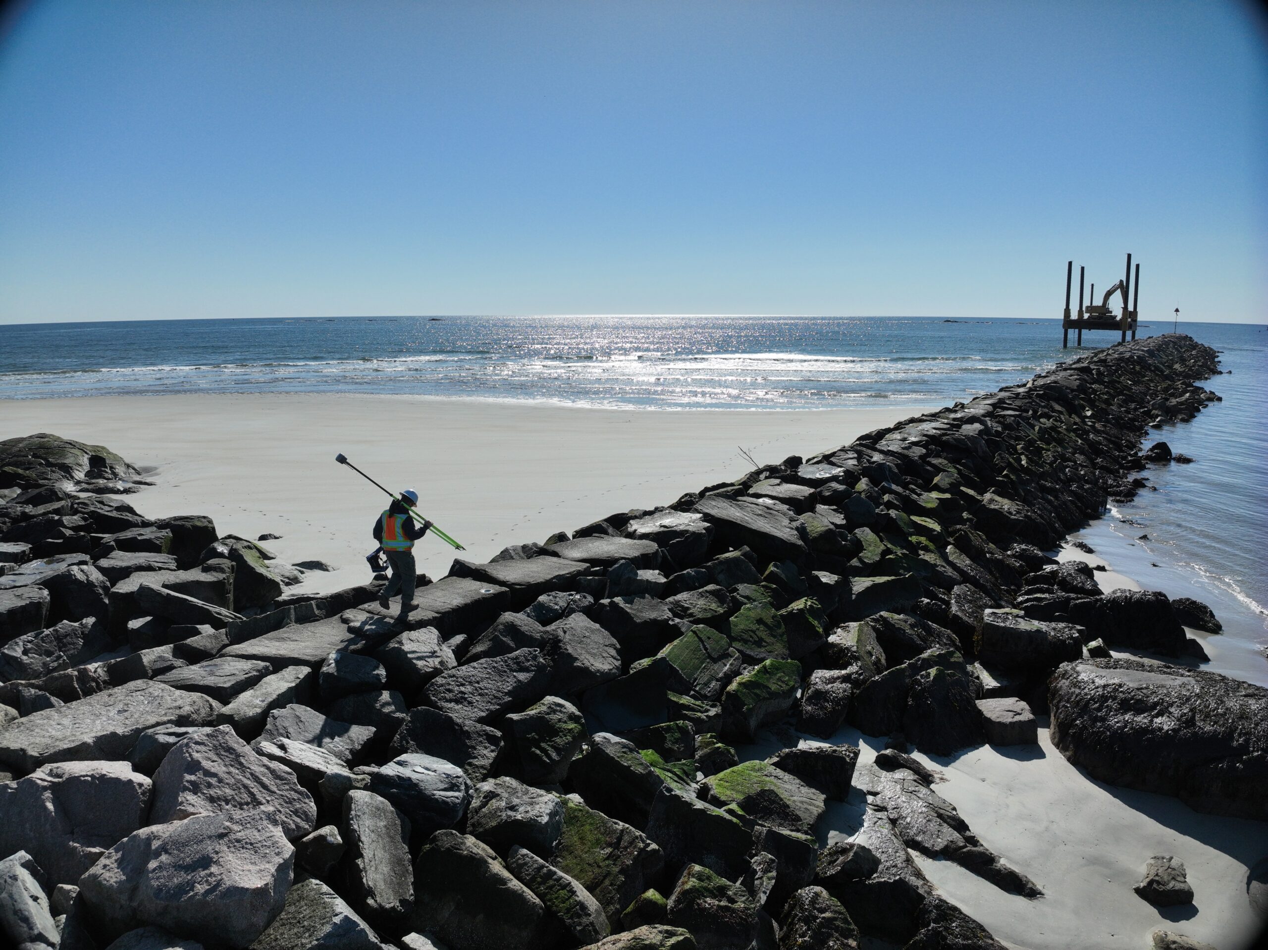
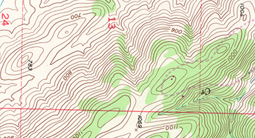
Topographic & Existing Conditions Mapping
Accurate site data for planning, design, permitting, and development.
Contact Us:
(603) 953-3164
Progressive land surveying firm whom leverages modern technologies providing cost effective surveying and mapping services.

Accurate site data for planning, design, permitting, and development.


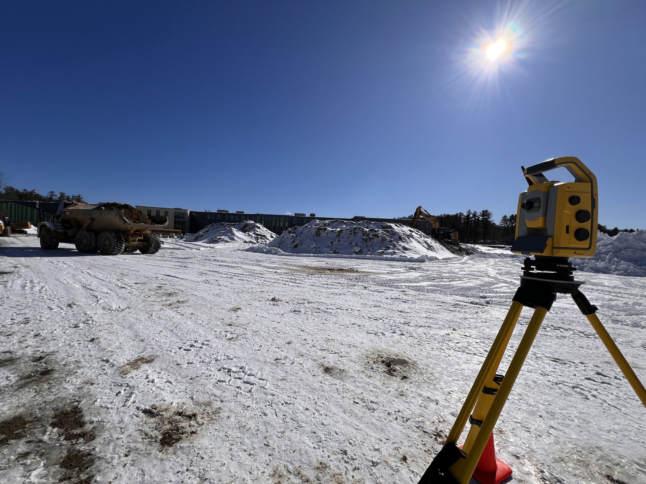
Precise field layout for infrastructure, commercial, and residential construction projects.
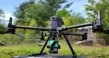

High-resolution aerial mapping, photogrammetry, and LiDAR data collection.


Boundary determinations and lender-compliant surveys for commercial transactions.

Surveying support for subdivisions, permitting, and site development projects.


Accurate digital models and as-built documentation for existing structures and sites.
About Us
Progressive land surveying firm whom leverages modern technologies providing cost effective surveying and mapping services.


How We'll Help
With over a decade of surveying experience, Eric and team can work with a wide range of projects. Our company goal is to utilize the latest technology and techniques in combination with years of hands on experience to provide our clients with top quality results, with a quick turn around.
1
2
3
How We Do It
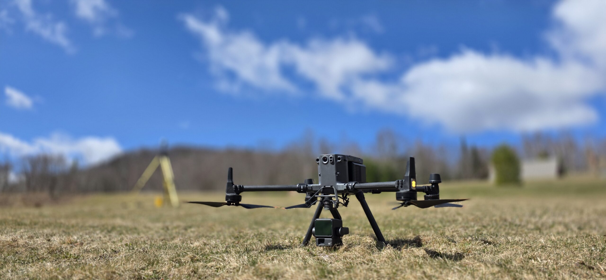
We use drones to help us map hard to reach areas or protect the field crew from dangerous situations.
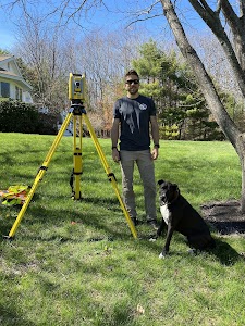


Our Team

President Elect of the New Hampshire Land Surveyor’s Association, Licensed in New Hampshire Maine and Massachusetts.